 |
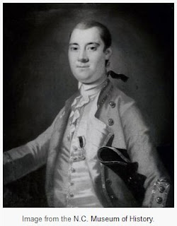
| Governor William Tryon |
Sauthier delineated key buildings or areas-such as churches, courthouses, markets, jails, mills, tanyards (or "tann yards"), flagstaffs, schools, breweries, still houses, and some residences-by an alphabetical letter in descending order of importance, with churches usually listed as A, courthouses as B, jails as C, and so on. Major roads leading to neighboring or important distant towns were carefully marked. Geographic features such as rivers, creeks, mountains or marshes, dams, and canals were usually identified.
Buildings were indicated by small rectangles with heavy outlines on two sides-usually the right angle and the lower side. These two heavy lines have been interpreted as indicating a shadow cast by the bulk of the building, a convention used by Sauthier to illustrate mass. The idealized "formal gardens" behind many town residences also reveal this convention, suggesting a mass of green foliage rising above the surrounding paths. The homes shown on the maps were all built near the street and were typically rectangular in shape, with fields or gardens located adjacent or behind the structures. The X inscribed within the perimeter of a structure has been interpreted to mean that it was a single-story building. On the originals some buildings were shown in color highlight (red), which may indicate dwellings. (NCpedia (by Linda F. Carnes-McNaughton 2006)
Below are Sauthier Maps of NC's 5 oldest Towns
Bath (1705), New Bern (1710), Edenton (1712), Beaufort (1713) and Wilmington (1740)
The Sauthier maps were created between 1768 and 1770.


SEE MORE DETAILS BELOW

__________________________________
Sauthier's Map of Beaufort including zoomed images


 | |||||||||||||
| Zoom of Sauthier's Map of Beaufort NC waterfront |
 |
| LEFT (west) SIDE of Sauthier's Map of Beaufort NC waterfront |
 |
| RIGHT (east) SIDE of Sauthier's Map of Beaufort NC waterfront |